The Charles F. McGlashan Pathway is a scenic trail in Marin County, California. It offers you a chance to enjoy nature and exercise close to the city.
The pathway connects neighborhoods and is part of a bigger plan to build a 500-mile trail around San Francisco Bay.
Get a discount of 15% to 70% on accommodation in Marin County! Look for deals here:
Marin County Hotels, Apartments, B&Bs
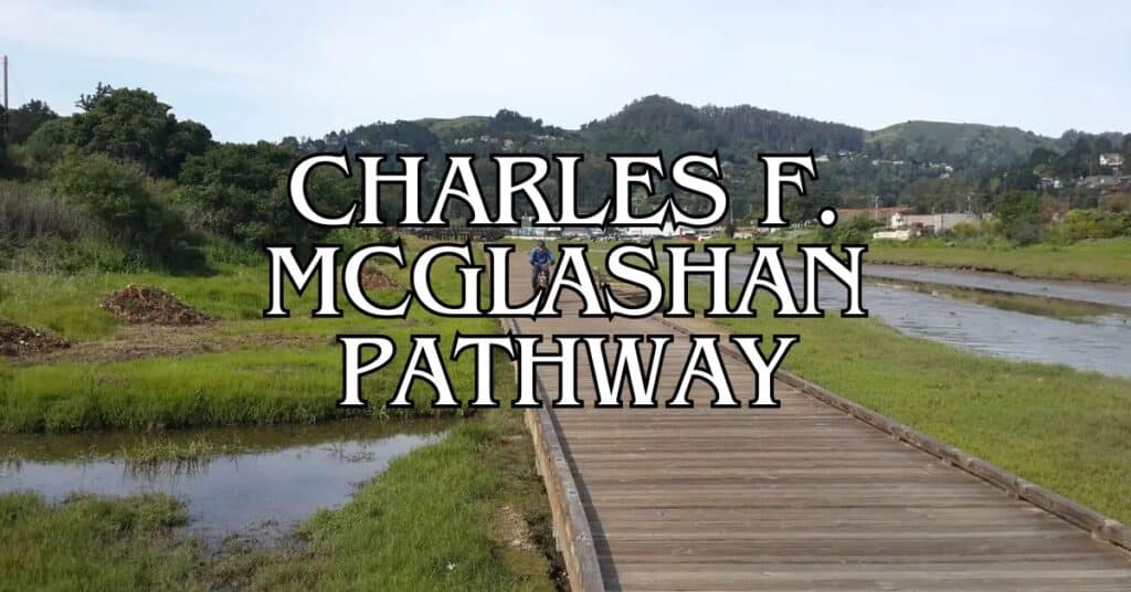
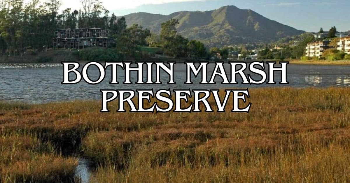
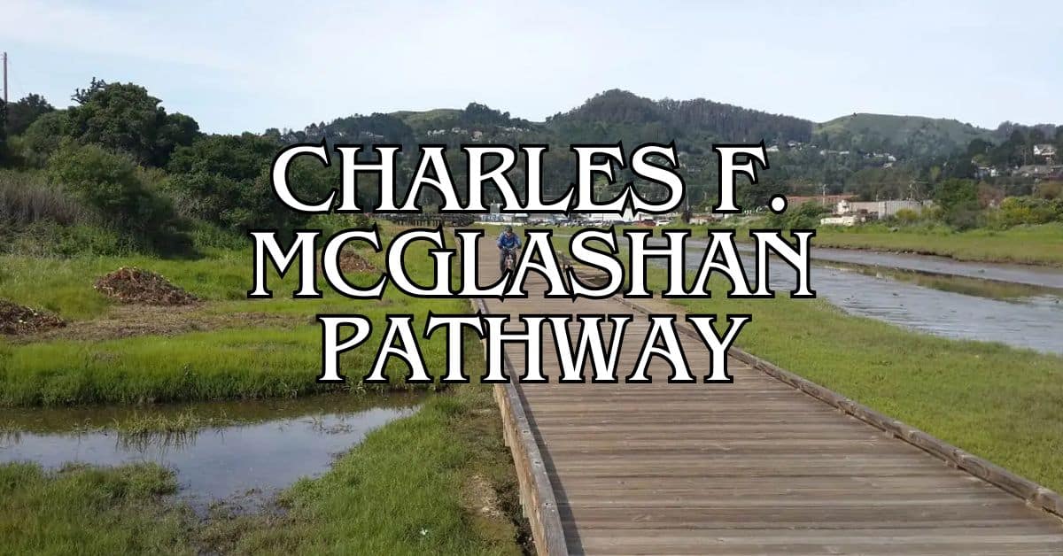
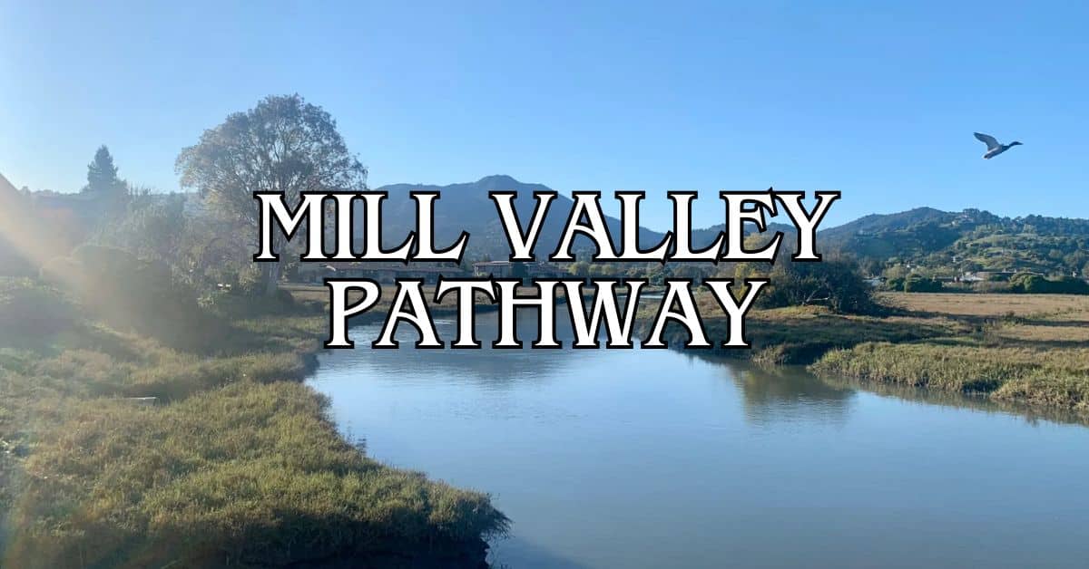
You can enter the path at two main spots. As you walk or bike, you’ll see Bothin Marsh, a 106-acre wetland. The marsh is pretty at sunrise and sunset when light shines on the water.
You can bring your dog too, but keep it on a leash.
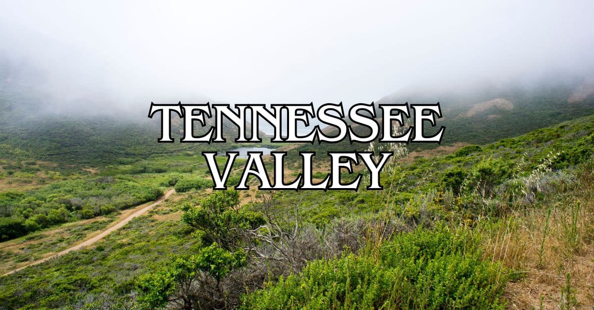
The trail used to be called the Tennessee Valley Pathway. It got a new name to honor Charles F. McGlashan, who was a county leader. He cared about the environment and wanted more ways for people to get around without cars. The path is good for walking, biking, and seeing local plants and animals.
Charles F. McGlashan Pathway Overview and Access
The Charles F. McGlashan Pathway offers a scenic and accessible route for visitors in Marin County. This paved trail provides easy access for people of all abilities and connects several key areas.
Quick Facts
- Length: 0.6 miles
- Surface: Asphalt and boardwalk
- Accessibility: Suitable for all abilities
- Named after: Former Marin County Supervisor Charles F. McGlashan
- Part of: Nonmotorized Transportation Pilot Program
Directions to Charles F. McGlashan Pathway
You can find the Charles F. McGlashan Pathway between Mill Valley and Sausalito. The trail runs parallel to Shoreline Highway (Highway 1).
To get there from Mill Valley:
- Head south on Shoreline Highway
- Look for the pathway on your right after passing Tam Valley
From Sausalito:
- Take Bridgeway north
- Continue onto Shoreline Highway
- The pathway will be on your left before reaching Mill Valley
Parking at Charles F. McGlashan Pathway Marin County, California
Parking options for the Charles F. McGlashan Pathway are limited but available. You can find parking at these locations:
- Tam Valley Community Center: Limited spots available
- Street parking: Some areas along Shoreline Highway offer roadside parking
Be sure to check for any parking restrictions or time limits. It’s best to arrive early, especially on weekends or holidays when the trail is busier.
Park Layout and Main Features
The Charles F. McGlashan Pathway is a straight, flat trail that’s easy to navigate. Key features include:
- Smooth asphalt surface for most of the path
- Boardwalk sections over marshy areas
- Views of Bothin Marsh Preserve
- Connection to the Mill Valley/Sausalito Multiuse Pathway
The trail offers scenic views of the surrounding wetlands and hills. You’ll see a variety of plants and wildlife along the way. Benches are placed at intervals for resting and enjoying the scenery.
Pet Policies and Dog-Friendly Areas
The Charles F. McGlashan Pathway is dog-friendly, but there are some rules to follow:
- Dogs must be on a leash at all times
- Maximum leash length: 6 feet
- Clean up after your pet
Remember to bring water for your dog, especially on warm days. The flat, paved surface is easy on paws, making it a comfortable walk for most dogs.
Activities and Amenities at Charles F. McGlashan Pathway
The Charles F. McGlashan Pathway offers diverse recreational opportunities for visitors. You can enjoy walking, cycling, and taking in scenic views along this accessible trail in Marin County.
Recreational Activities
You can engage in various activities on the Charles F. McGlashan Pathway. Cycling is popular, as the pathway connects to other trails in the area. You can bring your bike and explore the surroundings at your own pace.
Jogging and running are great ways to exercise while enjoying the natural beauty. The pathway’s smooth surface makes it ideal for these activities.
Bird watching is another enjoyable pastime. Keep an eye out for local bird species that frequent the area.
Walking and Hiking Trails
The pathway offers excellent walking and hiking options. It spans 0.6 miles, providing a pleasant stroll for visitors of all ages.
You can connect to other nearby trails, including:
- Mill Valley/Sausalito Multiuse Pathway
- Tennessee Valley Pathway
These connections allow you to extend your walk or hike as desired. The trail connects to Coyote Creek on one end and Tennessee Valley Road on the other, offering varied scenery.
Seasonal Activities
Spring and fall are ideal times to visit the pathway. You’ll enjoy mild temperatures and beautiful natural surroundings.
In spring, wildflowers bloom along the trail, adding splashes of color to your walk or ride.
Fall brings crisp air and changing leaf colors, creating a picturesque setting for outdoor activities.
Summer can be busy with more visitors, but it’s perfect for early morning or evening strolls.
Winter may have some rainy days, but it also offers peaceful, less crowded experiences on the pathway.
Accessibility Information
The Charles F. McGlashan Pathway is designed for easy access. Its flat, paved surface makes it suitable for wheelchairs and strollers.
Parking is available near the pathway entrances. You can find spots at the Tam Valley Community Center, which is close to the western end of the trail.
Dogs are welcome on the pathway, but they must be kept on a leash. Remember to clean up after your pet to keep the trail enjoyable for all users.
Trail maps are available to help you navigate the pathway and its connections to other trails in the area.
Natural Environment and Conservation of Charles F. McGlashan Pathway
The Charles F. McGlashan Pathway offers a unique blend of natural beauty and environmental significance. This trail provides you with opportunities to observe diverse flora and fauna while supporting important conservation efforts in Marin County.
Flora
Along the Charles F. McGlashan Pathway, you’ll encounter a variety of native plants. Salt-tolerant species thrive near Richardson Bay, adapting to the brackish conditions. Coastal sage scrub and grasslands dominate drier areas.
Look for colorful wildflowers in spring, including California poppies and lupines. Hardy shrubs like coyote brush provide year-round greenery. Near Coyote Creek, you might spot willows and other riparian vegetation.
Remember to stay on designated paths to protect sensitive plant communities.
Fauna
The pathway’s diverse habitats support a rich array of wildlife. Migratory birds use the area as a crucial stopover point along the Pacific Flyway. Watch for shorebirds like sandpipers and egrets wading in shallow waters.
Small mammals such as rabbits and ground squirrels are common sights. You might glimpse a coyote at dawn or dusk. The creek provides habitat for fish and amphibians.
Bring binoculars to observe birds without disturbing them. Keep dogs leashed to protect local wildlife.
Seasonal Variations
Each season brings unique changes to the Charles F. McGlashan Pathway. Spring showcases vibrant wildflower blooms and increased bird activity. Summer offers warm days ideal for exploring, with fog often rolling in during mornings.
Fall brings migrating birds and changing leaf colors in deciduous plants. Winter rains replenish creeks and marshes, creating lush green landscapes. Cooler temperatures make for comfortable hiking.
Check weather forecasts before your visit, as conditions can change quickly near the bay.
Conservation and Eco-Friendly Practices
The pathway plays a key role in local conservation efforts. It’s part of a nonmotorized transportation network, promoting eco-friendly travel options. The trail helps protect wetland habitats crucial for many species.
You can support conservation by following leave-no-trace principles. Pack out all trash and stay on designated trails. Consider volunteering for local habitat restoration projects.
The pathway showcases how recreation and environmental protection can work together. It serves as an outdoor classroom, teaching visitors about the importance of preserving natural spaces in urban areas.
Cultural Significance and Visitor Tips for Charles F. McGlashan Pathway
The Charles F. McGlashan Pathway holds great importance in Marin County. It offers visitors a chance to explore local history, enjoy community events, and take in beautiful views.
History and Heritage of Charles F. McGlashan Pathway
The pathway is named after Charles F. McGlashan, a former Marin County Supervisor. He was known for his work as an environmentalist and supporter of non-motorized transportation.
McGlashan’s legacy lives on through this trail. It connects communities and promotes eco-friendly travel options.
You can learn about local history as you walk the path. Signs along the way share information about the area’s past and McGlashan’s contributions.
Local Events and Programs
The Charles F. McGlashan Pathway hosts various community events throughout the year. These include:
- Nature walks led by local experts
- Bike safety workshops for kids and adults
- Seasonal celebrations like Earth Day clean-ups
You can check the Marin County Parks website for upcoming events. Many activities are free and family-friendly.
Local schools often use the pathway for outdoor education programs. These teach students about nature and the importance of green spaces.
Charles F. McGlashan Pathway in Popular Culture
The pathway has become a favorite spot for locals and visitors alike. It’s often featured in travel guides about Marin County.
Social media users share photos of the trail’s scenic views. You might spot the hashtag #McGlashanPathway on Instagram or Facebook.
Local artists have created works inspired by the pathway’s natural beauty. You can sometimes find these pieces displayed in nearby galleries.
Photography Spots and Scenic Views
The Charles F. McGlashan Pathway offers many great photo opportunities. Here are some top spots:
- Coyote Creek Bridge: Capture reflections in the water below.
- Tennessee Valley Road Overlook: Get panoramic views of the surrounding hills.
- Wildflower meadows: Best in spring when blooms are at their peak.
Early morning or late afternoon light creates beautiful shadows along the trail. Bring a wide-angle lens to capture the pathway winding through the landscape.
Park Rules and Safety Guidelines
To ensure a safe and enjoyable visit, follow these guidelines:
- Keep dogs on leash at all times
- Be courteous to others, especially when passing
- Stay on marked trails to protect plant life
- Carry water and wear sun protection
- Use bike bells to alert others when approaching
The pathway is open from sunrise to sunset. There are no lights along the trail, so plan your visit during daylight hours.
Emergency call boxes are located at key points along the path. Program the local park ranger number into your phone before your visit.
Get a discount of 15% to 70% on accommodation in Marin County! Look for deals here:
Marin County Hotels, Apartments, B&Bs
Adrian Rosal Park Travel Guide – Accessibility, Amenities, Activities, and More!
Alto Bowl Preserve Travel Guide – Accessibility, Amenities, Activities, and More!
Bald Hill Preserve Travel Guide – Accessibility, Amenities, Activities, and More!
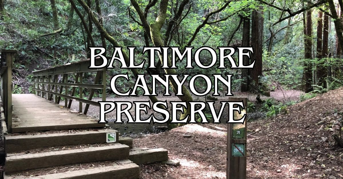
Baltimore Canyon Preserve Travel Guide – Accessibility, Amenities, Activities, and More!
Bayside Park Travel Guide – Accessibility, Amenities, Activities, and More!
Blithedale Summit Preserve Travel Guide – Accessibility, Amenities, Activities, and More!
Bothin Marsh Preserve Travel Guide – Accessibility, Amenities, Activities, and More!
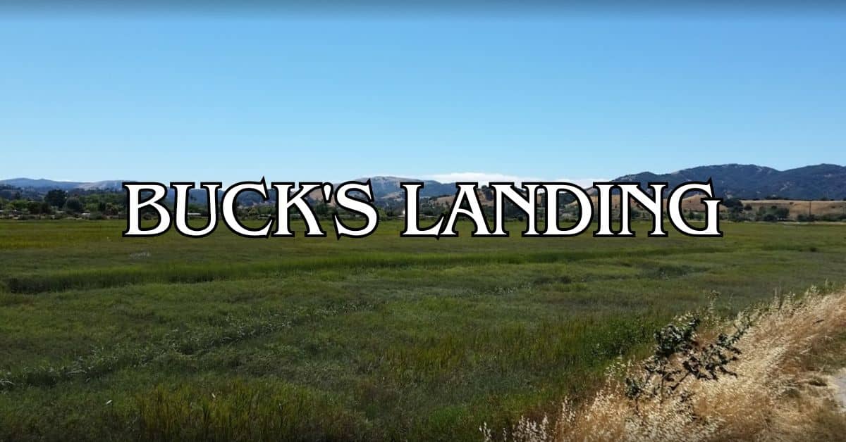
Buck’s Landing Travel Guide – Accessibility, Amenities, Activities, and More!
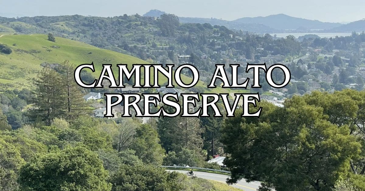
Camino Alto Preserve Travel Guide – Accessibility, Amenities, Activities, and More!
Candy’s Park Travel Guide – Accessibility, Amenities, Activities, and More!
Cascade Canyon Preserve Travel Guide – Accessibility, Amenities, Activities, and More!
Charles F. McGlashan Pathway Travel Guide – Accessibility, Amenities, Activities, and More!
China Camp State Park Travel Guide – Accessibility, Amenities, Activities, and More!
Corte Madera Pathway Travel Guide – Accessibility, Amenities, Activities, and More!
Hal Brown Park Travel Guide – Accessibility, Amenities, Activities, and More!
Horse Hill Preserve Travel Guide – Accessibility, Amenities, Activities, and More!
King Mountain Preserve Travel Guide – Accessibility, Amenities, Activities, and More!
Lagoon Park Travel Guide – Accessibility, Amenities, Activities, and More!
Loma Alta Preserve Travel Guide – Accessibility, Amenities, Activities, and More!
Lucas Valley Park Travel Guide – Accessibility, Amenities, Activities, and More!
Lucas Valley Preserve Travel Guide – Accessibility, Amenities, Activities, and More!
McInnis Park Travel Guide – Accessibility, Amenities, Activities, and More!
McInnis Skatepark Travel Guide – Accessibility, Amenities, Activities, and More!
McNears Beach Park Travel Guide – Accessibility, Amenities, Activities, and More!
Mill Valley-Sausalito Pathway Travel Guide – Accessibility, Amenities, Activities, and More!
Mount Tamalpais State Park Travel Guide – Accessibility, Amenities, Activities, and More!
Muir Woods National Monument Travel Guide – Accessibility, Amenities, Activities, and More!
Pueblo Park Travel Guide – Accessibility, Amenities, Activities, and More!
Ring Mountain Preserve Travel Guide – Accessibility, Amenities, Activities, and More!
San Pedro Mountain Preserve Travel Guide – Accessibility, Amenities, Activities, and More!
Santa Venetia Marsh Preserve Travel Guide – Accessibility, Amenities, Activities, and More!
Tennessee Valley Travel Guide – Accessibility, Amenities, Activities, and More!
Terra Linda/Sleepy Hollow Preserve Travel Guide – Accessibility, Amenities, Activities, and More!
White Hill Preserve Travel Guide – Accessibility, Amenities, Activities, and More!


